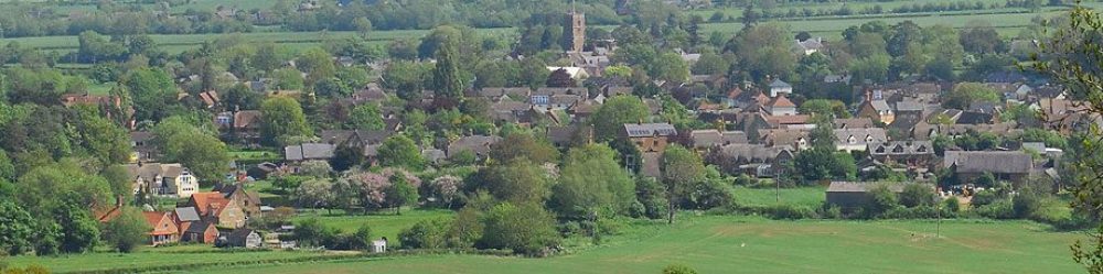
Tysoe is a rural parish in south Warwickshire, England. The parish comprises the main settlements of Upper, Middle, and Lower Tysoe, which are closely linked, geographically and historically.
Located about 7.5 miles northwest of Banbury, it is a rural area in the Vale of the Red Horse, with a clay substrate valley floor and a steeply rising escarpment to the east which forms part of the Cotswolds’ Area of Outstanding Natural Beauty (AONB).
The area has historical significance, once featuring a large “Red Horse” cut into the red clay hillside, though this has since disappeared although the Red Horse still provides an emblem for the Health Centre, the School, the junior football team and local businesses.
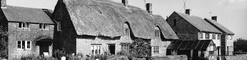
Much of the rich heritage of the area has been documented by the Tysoe Heritage Research Group. The 2011 Census recorded the population at 1,143, with a current estimate of around 1,200 people. Residents value its rural nature and were involved in creating a Neighbourhood Plan to guide future development, driven by Tysoe Parish Council.
Recent planning efforts have focused on managing development while preserving the village’s historic and rural character, with policies addressing housing, employment, and the environment.
Local services include a variety of trades, village shop, post office, church, public house, primary school and a satellite doctors’ clinic.
There is much to see, do and become involved in, more of which is shared in the What’s On area of this website.